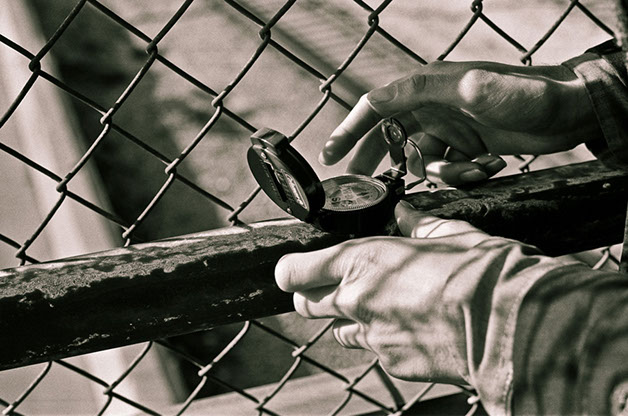
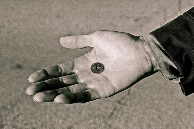
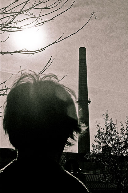
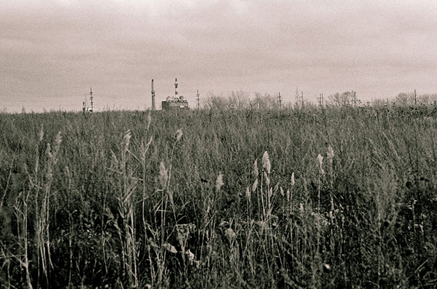
COMPASS WALK
2011 • 35mm black and white negative film • Marco Joubert & Kurt Peterson
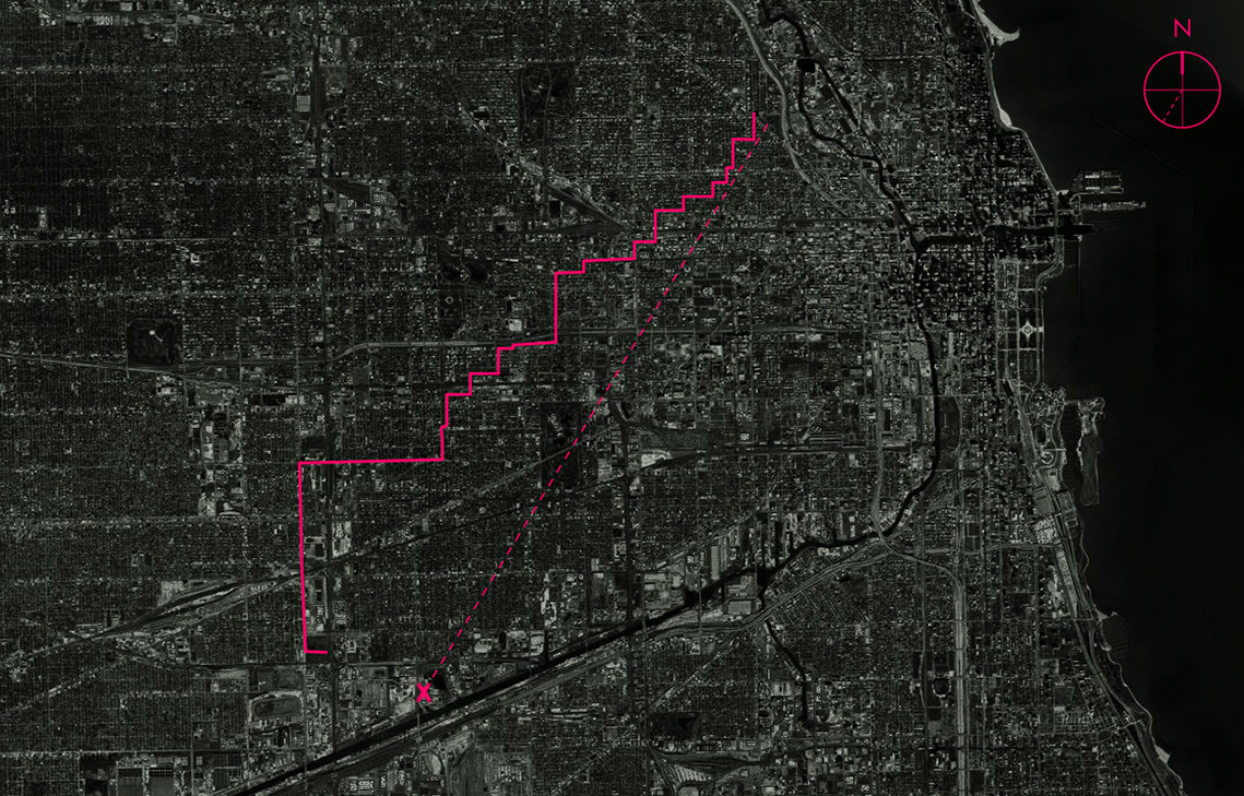
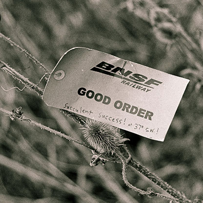
November 21, 2011.
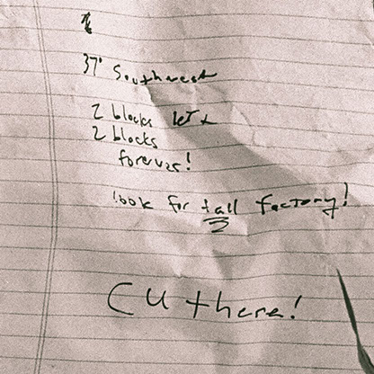
A five-hour walk from Polonia Triangle in Chicago, Illinois, to a piece of waste land bordering the suburb of Cicero's eponymous avenue, in an attempt to reach the farthermost identifiable object on the horizon, as seen from the windows of Noble Square Coop's apartment 1810 (1165 North Milwaukee Avenue). A compass reading for the chimney-like object would then be used as a guideline to navigate through the city grid, a new reading being taken at each intersection or so. Keeping course at 37° SW as best as possible led to a partial success; a fenced industrial complex preventing further advance marked the end of the undertaking, a short distance away from target, by then visible.